Arctic Front Arrival: San Antonio Braces for Icy Transition and Bitter Cold
Arctic Front Triggers Winter Storm Warnings
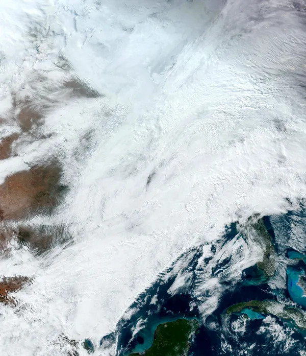
San Antonio is currently under a high-alert weather status as a powerful arctic front moves through the region today, Saturday, January 24, 2026. The National Weather Service has issued a Winter Storm Warning effective from 3:00 PM today through Sunday noon, alongside an Extreme Cold Warning starting at 6:00 PM. Residents are urged to prepare for a drastic shift from damp morning showers to hazardous evening ice accumulation.
Morning Forecast: Rain and Thunder
The early hours of Saturday will see widespread showers and potential thunderstorms across the San Antonio metro area. Between 6:00 AM and noon, the atmosphere remains saturated with a high probability of rain. Temperatures during this period will reach their peak for the day, hovering near 44°F. However, these relatively mild conditions are temporary, as the leading edge of the arctic airmass begins its push into South Central Texas.
Afternoon: The Big Chill Begins
By early afternoon, the transition begins in earnest. Temperatures are expected to fall steadily throughout the day. While the high reached 44°F in the morning, values will drop into the 30s by late afternoon. North winds will intensify, with gusts reaching up to 30 mph, significantly lowering the wind chill factor. Rain showers will persist, but as the ground and air temperatures approach the freezing mark, the risk of slick surfaces on bridges and overpasses will increase north of the I-10 corridor.
Evening and Night: Freezing Rain and Sleet
Conditions are expected to deteriorate rapidly after sunset. By Saturday night, temperatures will plummet to a low of approximately 25°F. Forecasters predict that rain will transition into freezing rain and sleet after 6:00 PM. This icing event could result in accumulations between 1/10 and 1/4 of an inch, making travel extremely dangerous. The city has announced the opening of six overnight Resilience Hubs starting Saturday night to provide a warm environment for those in need.
Key Alerts and Safety Information
- Winter Storm Warning: In effect from 3:00 PM Saturday to 12:00 PM Sunday.
- Extreme Cold Warning: Effective 6:00 PM Saturday through Monday noon.
- Wind Chill: Expected to drop into the single digits by Sunday morning.
- Travel: Avoid unnecessary travel after 6:00 PM as icing is likely on major roadways and elevated surfaces.