Cool Clouds and Quiet Winds: San Antonio’s Chilly Friday Setup
Morning: A Frosty and Quiet Start
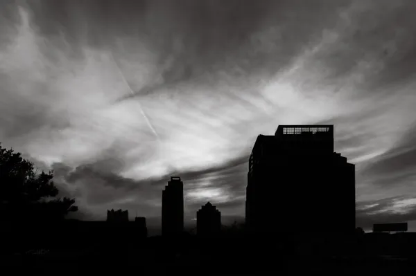
San Antonio residents woke up to a crisp, cold morning this Friday, January 30, 2026, as the city navigates the aftermath of a recent cold front. Predawn temperatures in the San Antonio metro area hovered just above the freezing mark, settling near 34 to 36 degrees. For those heading out early, the air remains biting, though the lack of significant wind has spared the city from extreme wind chills. By 9:00 a.m., thermometers are expected to crawl up to 40 degrees. Skies will remain largely cloudy throughout the early hours, though a few breaks in the overcast layer may offer brief glimpses of the sun during the commute.
Afternoon: Peaking in the 50s
By midday, the city is expected to reach the 50-degree mark. The afternoon high is projected to peak between 55 and 57 degrees—a notable 10-degree drop from the conditions seen earlier in the week. The sky will likely stay shrouded in a blanket of clouds, creating a grey and muted atmosphere across the Alamo City. Residents in areas just south of the metro may see slightly warmer highs reaching into the low 60s, but for the majority of the city, the mid-to-upper 50s will be the limit. For those with outdoor plans, the news is positive regarding precipitation: there is a 0% chance of rain, and winds are expected to remain very light at 5 mph or less throughout the day.
Evening and Overnight: The Big Drop Begins
As the sun sets, cloud cover is expected to thicken. However, the calm conditions of the day are merely a precursor to a more significant weather shift. A secondary push of arctic air is slated to move into South Texas late Friday night, causing temperatures to plummet. By late evening, the steady chill will intensify as the next front approaches, setting the stage for subfreezing temperatures by early Saturday morning. No rain or snow is expected with this transition, but the dry cold will be felt significantly as the night progresses.
Weather Alerts: Protect the 4Ps
While there are no active wind or rain warnings for Friday itself, the National Weather Service has highlighted a Cold Weather Advisory for the region beginning early Saturday morning. In preparation for the subfreezing weekend, experts recommend residents take action today to protect the '4Ps':
- People: Check on elderly neighbors and ensure everyone has access to safe heating sources.
- Pets: Bring outdoor animals inside or provide heavily insulated shelter and unfrozen water.
- Plants: Cover sensitive tropical vegetation or move potted plants into a garage or indoors.
- Pipes: Insulate exposed outdoor pipes and leave indoor faucets at a slow drip to prevent bursts.