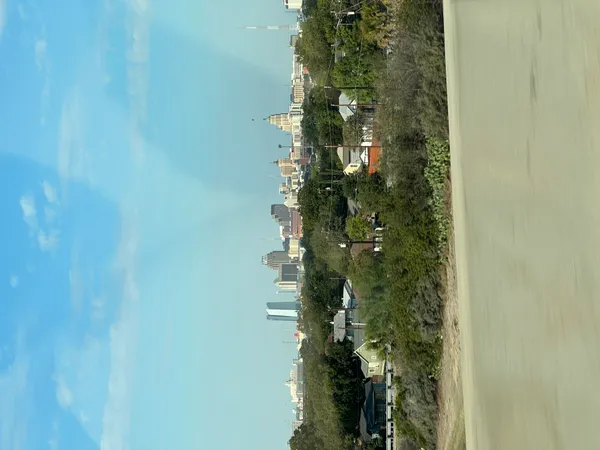
San Antonio Forecast: Weekend Freeze Expected, But Winter Storm Chances Appear Limited In The Metro Area
What the forecast shows heading into the Jan. 17–19 weekend
San Antonio is expected to turn noticeably colder this weekend, with a freeze possible by early Sunday morning, Jan. 18. Forecast guidance indicates overnight temperatures near the freezing mark across the metro, while colder readings are more likely in parts of the Hill Country.
After a front moves through, daytime conditions Saturday are expected to remain cool and breezy, with temperatures generally struggling to rebound out of the 50s. The coldest period for the immediate San Antonio area is expected late Saturday night into Sunday morning.
Freeze risk: timing and the areas most likely to dip below 32°F
Current projections place the best window for freezing temperatures around San Antonio in the pre-dawn hours Sunday. Forecast ranges put many neighborhoods near 30°F to 32°F, a narrow margin where small differences in cloud cover, wind, and local terrain can determine whether temperatures briefly touch freezing or stay just above it.
Colder conditions are more likely outside the urban core. Communities at higher elevations and farther northwest typically cool more efficiently overnight, increasing the likelihood of subfreezing temperatures and a longer duration of freezing conditions.
- Highest freeze risk: Hill Country and outlying areas
- Near-freezing risk: much of the San Antonio metro
- Lower freeze risk: areas closer to the immediate coastal plain
Will there be a winter storm in San Antonio?
At this time, the forecast for the San Antonio area supports cold and windy conditions more clearly than a high-confidence winter storm. A winter storm typically requires not only cold air but also a well-timed supply of moisture. While wintry precipitation can occur in South-Central Texas under the right setup, current indications for the immediate metro area lean toward a cold weekend with limited potential for significant snow or ice.
That said, winter-weather forecasting in Texas is sensitive to small shifts in storm track and temperature profiles. A slight change could increase the risk of freezing rain or sleet north and west of the city, particularly where temperatures are more likely to fall below 32°F for longer.
What residents can do now
Preparation for a short-duration freeze is different from preparation for a prolonged ice storm, but both start with the same basics: protect people, pets, plants, and pipes.
- Protect exposed outdoor plumbing and irrigation components ahead of Saturday night.
- Bring sensitive plants indoors or cover them before the overnight low.
- Check heating sources and ensure pets have warm shelter.
- Monitor updates in case temperature or precipitation timing shifts.
What to watch next week
Beyond the weekend, early next week is expected to bring milder afternoon temperatures, with rain chances returning in the Tuesday-to-Wednesday time frame. The longer-range outlook also keeps attention on the potential for another stronger push of Arctic air later in the week, which could revive concerns about freezing temperatures and, if moisture aligns, wintry precipitation chances.