San Antonio's Final Warm Hours: Arctic Front Set to End Mild Spell Tonight
Morning Fog and Muggy Skies
San Antonians are waking up to a thick blanket of gray this Friday, January 23, 2026. The National Weather Service has issued a Dense Fog Advisory for Bexar County and the surrounding areas, effective until 10:00 AM. Motorists are advised to exercise extreme caution during the morning commute, as visibility is expected to drop to one-quarter mile or less in many locations. Along with the limited visibility, the morning air is notably muggy, with temperatures hovering in the low 60s and a persistent drizzle dampening the streets.
Afternoon Peak and Spotty Showers
Once the morning fog lifts, the city will experience what meteorologists are calling the "calm before the storm." Skies will remain mostly cloudy throughout the day, but temperatures will climb to unseasonably warm levels. Residents can expect afternoon highs to peak in the low 70s, potentially reaching up to 74°F. While it may feel like a pleasant spring day, the humidity will remain high, and there is a 30% chance of spotty showers through 5:00 PM. These light rains are not expected to be significant, but they serve as a precursor to the more active weather arriving later tonight.
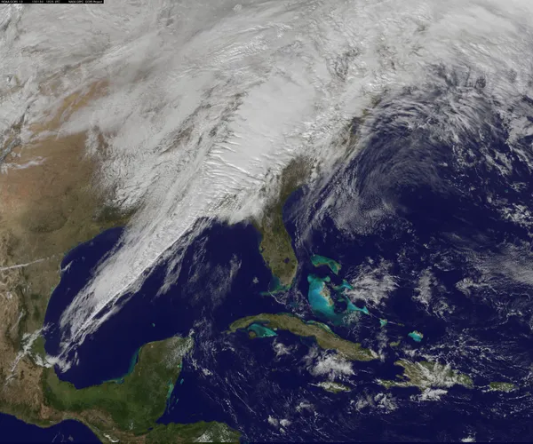
Midnight Arrival: The Arctic Shift
The real story begins late tonight as a powerful arctic cold front prepares to sweep through South-Central Texas. Forecasters predict the front will reach San Antonio around midnight, bringing a sharp and sudden transition. As the front pushes through, scattered showers will develop into a more organized line of thunderstorms. Some of these storms could produce locally heavy rainfall and occasional lightning. More notably, the wind will shift violently to the north, with gusts potentially reaching 30 mph. This will trigger a rapid temperature drop; by the time residents wake up on Saturday morning, temperatures will have plummeted into the 40s, with wind chill values making it feel like the 20s.
Preparation and Looming Warnings
While today remains relatively mild, officials are urging San Antonians to use these final warm hours to prepare for a hazardous weekend. A Winter Storm Warning has been issued for the Hill Country and the I-35 corridor just north of the city, starting Saturday morning. Furthermore, an Extreme Cold Warning is set to take effect starting Saturday evening through Monday morning, as temperatures are expected to drop well below freezing. Citizens are encouraged to remember the "Four P’s": protect People, Pets, Pipes, and Plants. Ensure that outdoor plumbing is insulated, pets have warm shelter, and vulnerable neighbors are checked on before the frigid air takes hold overnight.