Winter storm brings ice, outages and closures as residents document conditions across San Antonio region
Residents document ice buildup as winter weather disrupts travel and daily operations
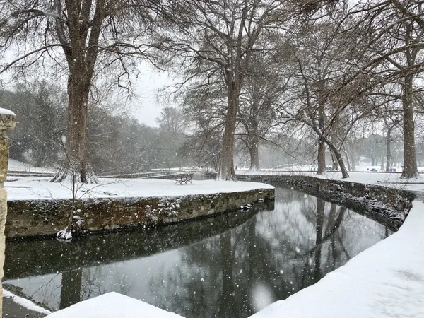
A wintry weather system brought freezing rain and sleet into South Central Texas over the weekend, leaving patches of ice on trees, elevated surfaces and roadways across the San Antonio area. As temperatures dropped into the low 30s, residents from San Antonio and nearby communities shared images and short videos showing glazed branches, slick decks and thin coatings of ice on railings and outdoor furniture.
The crowdsourced posts, submitted through a local weather-sharing platform, offered a neighborhood-by-neighborhood view of conditions that varied by elevation and geography. Submissions referenced areas ranging from Stone Oak and the North Side to Hill Country communities, where ice accretion is typically more pronounced during marginal freezing events.
Power outages and hazardous roads reported as freezing rain lingers
The ice contributed to scattered power disruptions as tree limbs and ice accumulation affected lines and equipment. Early Sunday, CPS Energy reported multiple outages affecting thousands of customers across the San Antonio area. The utility said the leading causes included ice buildup on equipment and broken limbs contacting lines, and crews worked overnight to restore service.
Road conditions also deteriorated, particularly on bridges, overpasses and shaded routes. Local agencies reported closures on select road segments as icing increased the risk of crashes. Officials urged residents to limit travel during the coldest hours and to assume that any wet-looking pavement could be frozen.
City operations scaled back; warming locations remain open
In response to the cold-weather event, the City of San Antonio announced scaled-back non-essential operations for Sunday, Jan. 25, and Monday, Jan. 26, 2026, while maintaining critical services such as police, fire, public works, airport operations, 311 and homeless outreach. City libraries, parks, community centers and senior centers were kept open to function as resiliency hubs and daytime warming locations.
Education leaders also moved to reduce travel as ice persisted. Several institutions announced cancellations for Monday, Jan. 26, including university classes across all UTSA campuses.
What residents reported seeing
- Ice accumulation on trees, with branches visibly coated in some neighborhoods
- Slick residential surfaces such as decks, steps and railings with a light glaze
- Localized differences in severity between nearby communities, consistent with changing elevation and precipitation rates
Advisories emphasize cold exposure and infrastructure risks
Weather alerts issued for the region highlighted the dual risk of ice and dangerous cold, including potentially very low wind chills in parts of South Central Texas. Local emergency guidance for winter weather continued to emphasize protecting people and pets from exposure and preparing homes to reduce pipe-freeze risk.
As conditions evolve during freezing rain events, impacts can shift quickly from minor glazing to widespread hazards when temperatures remain near or below freezing for extended periods.
Authorities said road conditions can remain hazardous even after precipitation ends, especially where ice persists on elevated roadways and where crews cannot safely treat every surface simultaneously.