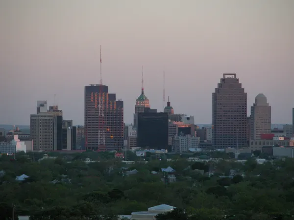
Muggy Skies and Mid-80s: San Antonio Braces for a Damp and Warm Wednesday
Unseasonable Warmth Meets High Humidity
San Antonio residents waking up this Wednesday, March 4, 2026, will immediately notice a thick, tropical feel to the air. As meteorological spring gets into full swing, the Alamo City is facing unseasonably warm temperatures and a surge in Gulf moisture. The combination of high humidity, peaking near 89% in the early hours, and a steady breeze will make the morning feel more like mid-May than early March. Forecasters are tracking a persistent cloud layer that will dominate the skyline for most of the day, keeping the city in a gray but sweltering embrace.
Morning Drizzle and Overcast Starts
The morning commute is likely to be a damp one. Local meteorological reports indicate that the day will begin with widespread drizzle and light showers across Bexar County. While heavy rainfall is not expected during the morning hours, the presence of mist and low-hanging clouds could reduce visibility on major thoroughfares like I-10 and Loop 1604. Temperatures during the morning hours will hover comfortably in the low 70s, but the high dew point will ensure a sticky start for anyone heading outdoors. Wind speeds are expected to remain moderate, coming from the south-southeast at roughly 10 to 15 mph, with occasional gusts reaching up to 23 mph.
Afternoon Heat and Spotty Storm Chances
As we move into the afternoon, the mercury is set to climb significantly. San Antonio is projected to reach a high of 86°F, though the heat index may make it feel closer to 90°F in areas with less cloud cover. While much of the region will remain dry, there is a 20% to 30% chance of spotty showers and isolated thunderstorms developing after 2:00 PM. These storms are expected to be hit-or-miss, but any cells that do form could bring brief, heavy downpours and lightning. Local weather authorities have issued a Weather Impact Alert for today, noting that while the most severe activity is currently positioned between San Antonio and the Dallas-Fort Worth area, local residents should remain weather-aware through the evening.
Evening Outlook and Nighttime Cooling
By sunset, the chance of precipitation will linger but remain scattered. The evening will stay uncharacteristically warm, with temperatures only dipping to a low of approximately 70°F. This is significantly higher than the seasonal average for early March. Light rain remains a possibility through the overnight hours, as the atmospheric moisture refuses to budge. Looking ahead, this damp and humid Wednesday serves as a precursor to a more active weather pattern expected to arrive late Friday and into the upcoming weekend, which may bring more substantial rainfall to South-Central Texas.
Cold front pushing south this weekend may bring widespread rain, thunderstorms, and cooler air across Texas

Woman seriously injured in stabbing near West Side transit corridor as police search for fleeing suspect

Hoops, Heritage, and Humidity: Your San Antonio Morning Briefing